Products
Products
Servicii
Promoții
Noutăți
Despre Noi
Contact
Home / Services
Services
BLACK LIGHT S.R.L.
- is authorized by the National Agency for Cadastre and Real Estate Advertising in the fields of cadastre, geodesy and cartography.
- is certified by the Romanian Civil Aeronautical Authority for the execution of specialized works in the field, in order to determine the points of interest in the WGS-84 system.
CADASTRE

The cadastre is a unitary and obligatory system of evidence and systematic inventory of all real estate on the territory of the country from a quantitative, qualitative and legal point of view, regardless of whose possession the goods are, as well as their representation on cadastral plans and cadastral documents, and in the land book in order to realize the real estate advertising.

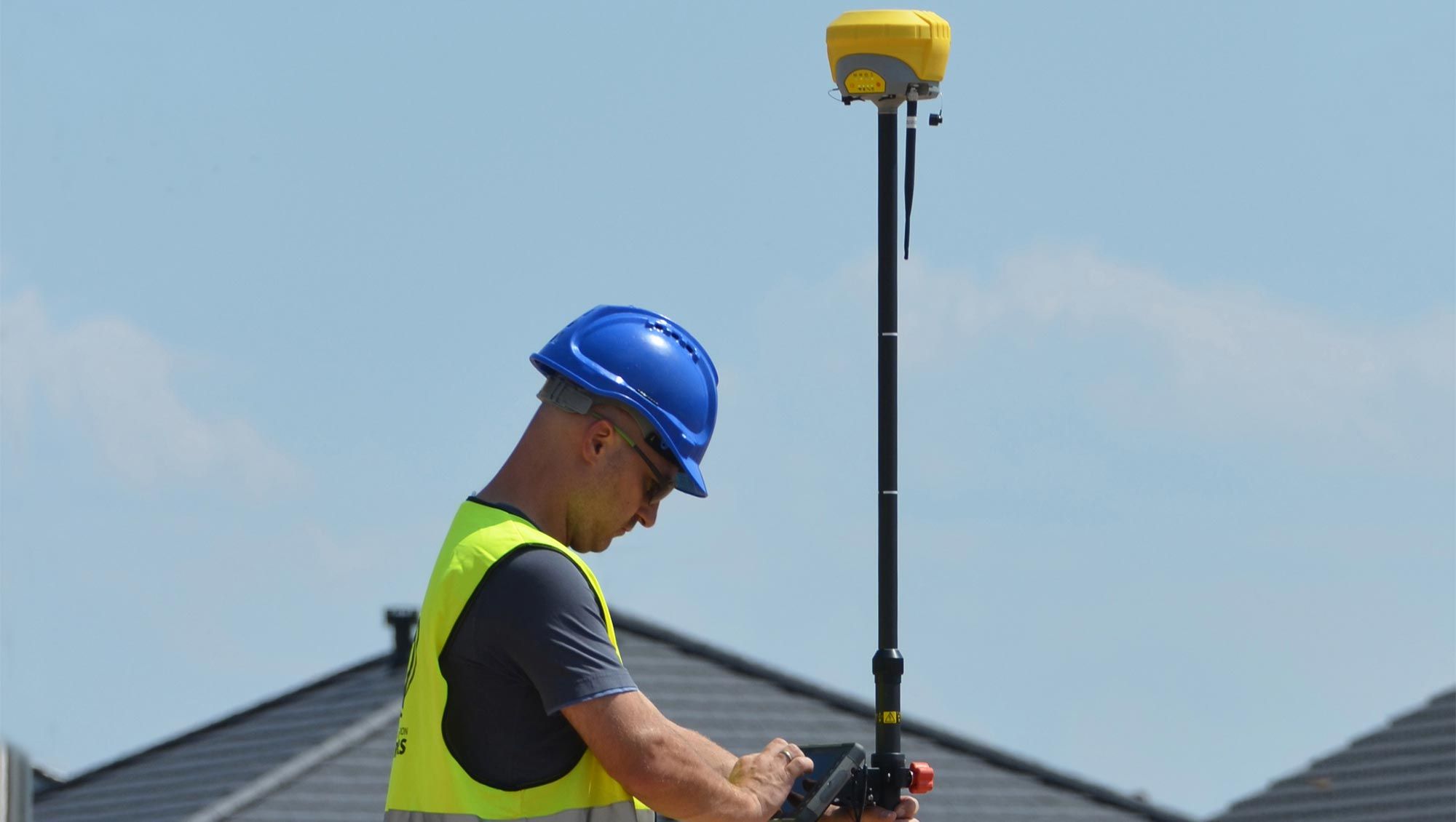
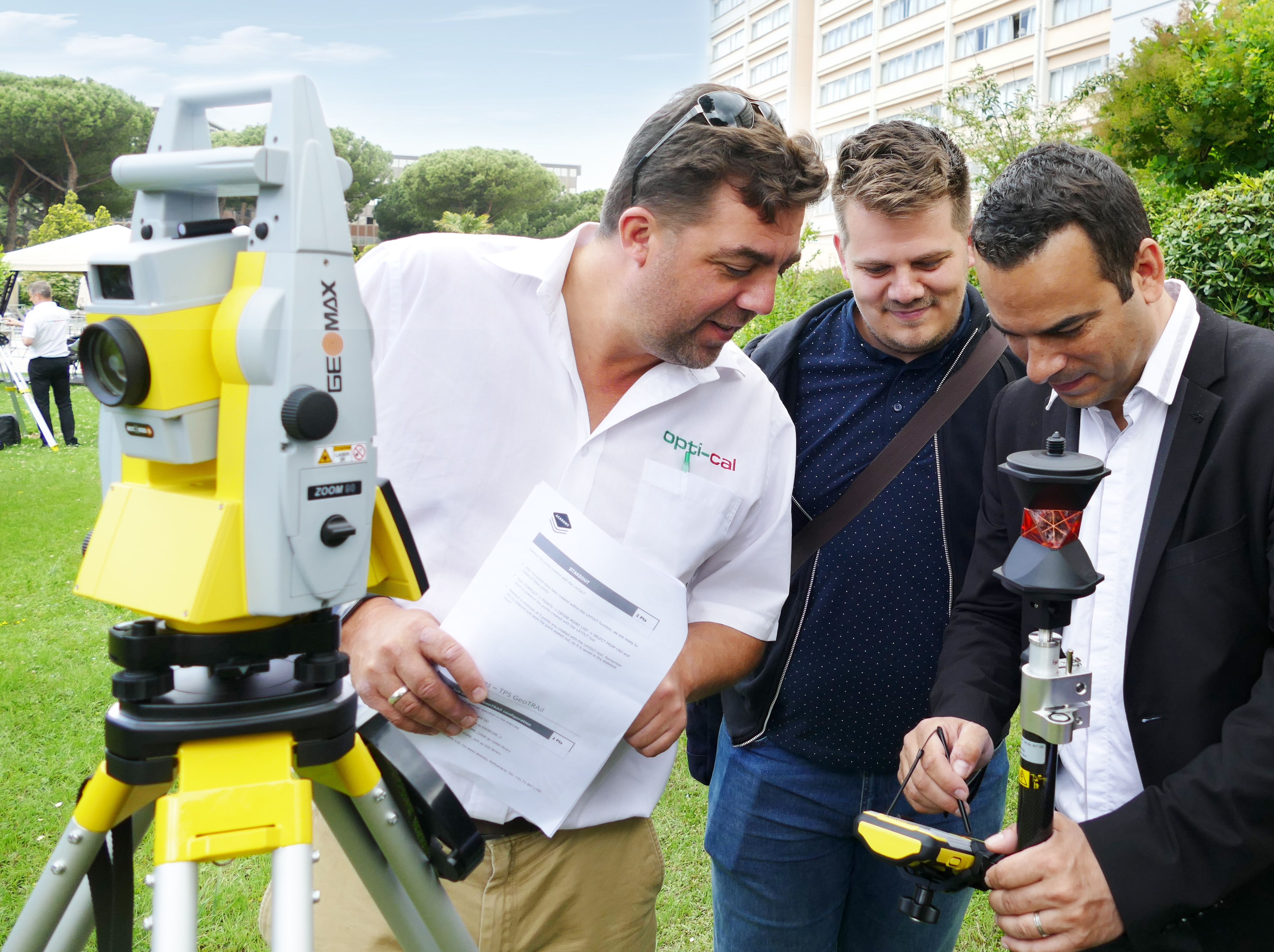
Having an experience of cadastral works of over 25 years, the quality of our works is guaranteed both by the staff with specialized higher education and long experience, as well as by the high-performance equipment, calculation technique and modern working methods.

In addition to technical and legal advice and solutions for various cadastral works, we present the types of works we perform:

1. Documentation of first registration in the integrated system of cadastre and Land Book (example: registration in the land book of the Title deed)

2. Documentation for updating the cadastral information of the buildings registered in the integrated system of cadastre and Land Book:

2.1 Documentation for the registration / deregistration of constructions in / from the Land Book

2.2 Documentation regarding the modification of the ownership limit

2.3 Surface change documentation

2.4 Documentation regarding the updating of the categories of use / destinations for a part of the building

2.5 Repositioning documentation

3. Documentation on the identification of the part of the building affected by dismemberments of the property right if these rights are constituted only on a part of the building

4. Documentation prepared for the assignment of the cadastral number, without registration in the Land Book:

4.1. Documentation for detachment / grounding

4.2. Documentation for the first registration Individual unit (UI - apartment / SAD)

4.3. Documentation for apartment / re-apartment

4.4. Documentation for detachment / attachment Individual unit (UI - apartment / SAD)

5. Documentation for the reconstruction of the lost, destroyed or stolen land book

12. Technical reception of the topographic plan required for:

- DTAC / DTAD project (Building Permit / Demolition Permit)

- PUZ / PUD project (Zonal Urban Plan / Detailed Urban Plan)

- PUG project (General Urban Plan)

13. Removal of land from the agricultural circuit on a temporary or permanent basis

GEODESY
1. Determination of planimetric networks
2. Determination of higher order geodetic networks using GNSS technology and permanent reference stations within the National Network of Permanent GNSS Stations (RN-SGP)
3. Determination of altimetric networks
AACR NOTICES

Black Light performs works in order to obtain aeronautical approvals for the following types of projects:

1. Obtaining approvals for CPUs

2. Obtaining approvals for PUGs

3D SCANNING AND MODELING
We are the pioneers of 3D scanning services in Romania. The accumulated experience and the top technologies allow us to execute with precision and speed projects from different fields of activity:
 
1. Topographic surveys of detail
2. Civil engineering and transport
3. Civil constructions and architecture
4. Urban constructions
5. Archeology
6. Forensics
7. Media & Entertainment
8. Virtual reality
TOPOGRAPHY
- Situation plan for design (AC, AD, PUZ, PUD, PUG)
- Situation plan for feasibility study
- Situation plan for industrial platforms (site with industrial or civil constructions)
- Situation plans for the design and rehabilitation of utility networks (gas, water, sewerage)
- Situation plans for design for the rehabilitation of the street / railway network, including transversal and longitudinal profiles
- Calculation of filling / digging volumes, 3D models of the terrain
- Surveys for design and verification AS BUILT
- Internal surveys according to BOMA standard
- Measurements for 2D and 3D building facades
- Draw the property limit
3D MODELLING
We are the pioneers of 3D scanning services in Romania. The accumulated experience and the top technologies allow us to execute with precision and speed projects from different fields of activity:
 
1. Topographic surveys of detail
2. Civil engineering and transport
3. Civil constructions and architecture
4. Urban constructions
5. Archeology
6. Forensics
7. Media & Entertainment
8. Virtual reality
ENGINEERING TOPOGRAPHY
- Tracing the digging limit
- Tracing dimension 0 and other dimensions in the project
- Tracing of dimensions for leveling concrete
- Drawing position designed pilots
- Tracing dimensions and formwork position
- Drawing projected position molded walls
- Tracing the axes in the project for each level
- Calculation of excavation / filling volumes (embankment volumes)
- Positioning of reinforcement and metal plates
- Positioning and vertical verification of cranes and other work equipment
- Positioning and verticality tracking for metal or concrete columns
- Positioning the beams and checking the structure geometry
- Daily checks of the executed elements (reinforcements, formwork, pillars, diaphragms)
- Determination of construction verticality
TRAINING
Black Light provides training and support for topographic equipment and software produced by Hexagon
 
Autodesk Inc.
Bentley Systems Inc.
Carlson Software Inc.
e-Capture Research and Development S.L.
Euclideon Pty Ltd.
GeoMax AG.
GeoSLAM Ltd.
Gexcel Srl.
Handheld Group AB.
Meixner Imaging GmbH.
Riegl Laser Measurement Systems GmbH.
Zoller + Fröhlich GmbH.
 
Black Light is also an Autodesk Authorized Training and Certification Center.
All our instructors are trained and authorized directly by the manufacturers.
SERVICE
Our company has a department specialized in calibrating and repairing topographic equipment, and it is equipped to deal with all types of repairs you need.
The service laboratory has a stand for measuring and verifying distances and angles to the standards imposed by the equipment manufacturers, with the help of which we offer the best quality services. The service laboratory is periodically checked, and the service equipment is periodically calibrated by the Romanian Metrology Office, respectively by the manufacturing company (due to its specific characteristics or shapes), in order to offer the best quality in repairing and calibrating the equipment.
Our services are based on quality and customer satisfaction at the most competitive price.
Among the services offered we list:
 
- Calibration and repair of total stations;
- Calibration and repair of optical, electronic and rotary levels;
- Calibration and repair of GPS;
- Calibration and repair of all controllers produced by Handheld A.G .;
- Technical support for the entire range of equipment distributed by S.C. Black Light S.R.L.
GIS
1. Implementation and integration of GIS and / or WebGIS geospatial systems
a. The implementation of a geospatial information system consists of:
- defining the entities that will be entered in the database;
- defining the attributes for each entity;
- defining display styles for each defined entity;
- defining the norms for entering / editing data for each entity;
- defining access rights (view / edit / delete) depending on the user;
 
b. The integration of a geospatial information system consists of:
 
- correlation of the GIS database with another existing database;
- conditions of use of the existing database:
- the database must be created in a relational database management system;
- all tables must contain at least one primary key column, which ensures the uniqueness of an entry and the correct relationship with the other tables;
 
 2. Project Management in the implementation and integration of GIS and / or Web-GIS geospatial systems
 
 From the desire to offer complete and quality services, our company offers consulting in the implementation and integration of GIS and WebGIS systems:
- Economic evaluation of the implementation of a Geographic Information System;
- Identification of needs;
- Data acquisition;
- Designing the Geospatial Database;
- Uploading the Geospatial Database;
- Data analysis;
- Presenting results and proposing solutions to improve processes.